South America Daily Snow

By Luke Stone, Forecaster Posted 1 year ago October 6, 2023
Snow Continues Friday, Mainly Dry Moving Forward
Summary
Heavy snow overnight at the central resorts, albeit on the warm side, has lead to an October powder day at Corralco. Antillanca will be the place on Saturday having been closed mid week. Some rain/snow showers are possible in the mid range but things dry out overall.
Short Term Forecast
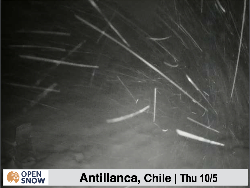
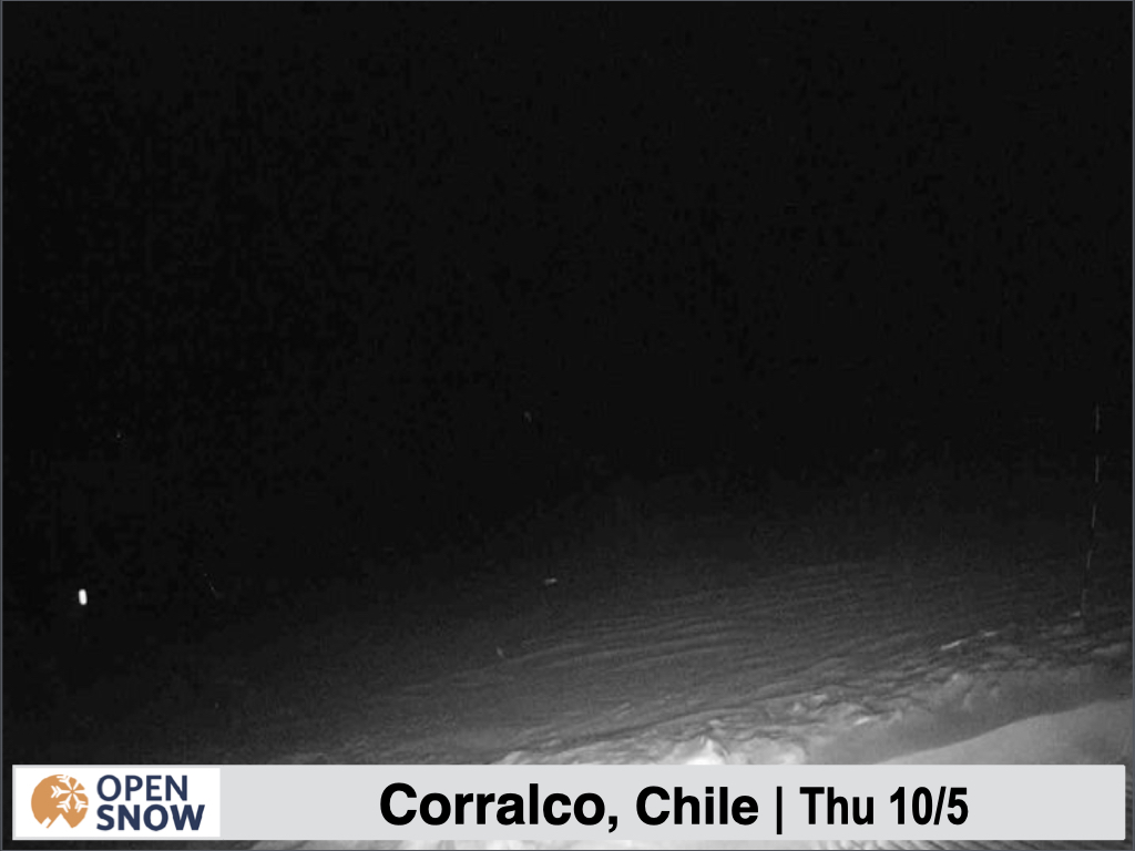
It was nice to check out webcams at Antillanca and Corralco last night and see some heavy snow falling. Check out a few shots below.
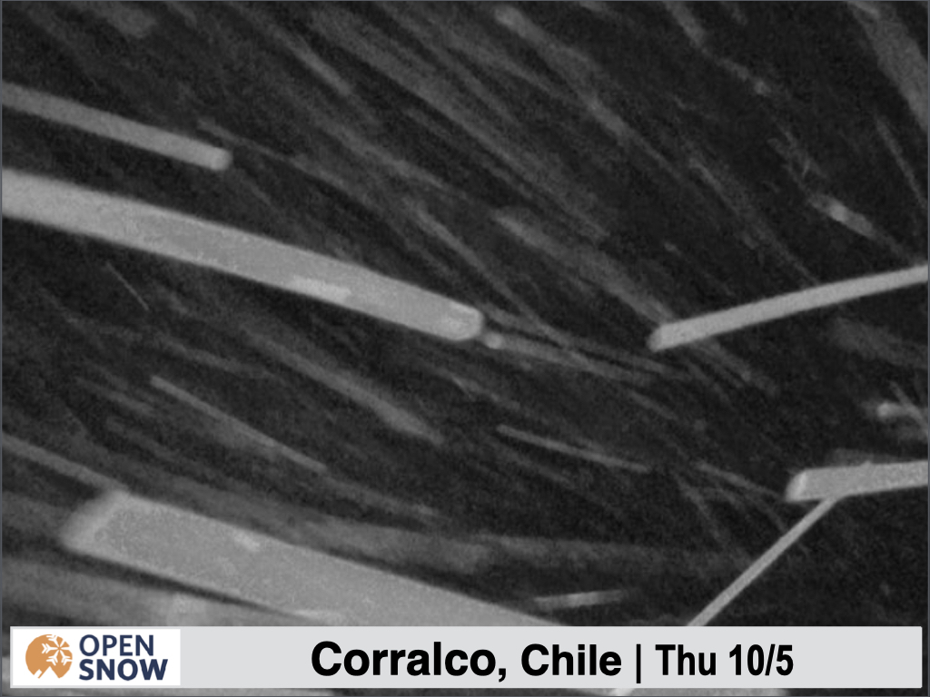
On this camera at Corralco, you can see evidence of the winds with some drifting snow.
Snow will continue on Friday, accompanied by strong winds, and an additional 5 - 10 cms. The winds should decrease for the weekend, with temps starting to warm. It should be a fun day at Antillanca on Saturday.
Some weaker disturbances move through the southern portion of the country the rest of the weekend and into early next week, but it shouldn't amount to anything more than the occasional rain or snow shower.
Looking at next week and beyond, the models show a strong ridge setting up off the coast of southern South America.

Above is the average mid level pressure pattern for the five days ending Sunday 10/15. The strong red colors in this region indicate higher than normal pressure, which results in warm and dry conditions, blocking any storms. I am not seeing any significant storms in the long range models at this time.
I hope you are able to get out to Corraclo or Antillanca to get some soft late season turns while a few resorts still hang on to winter.
Thanks for reading the South America daily snow! Follow me @lstone84 on Instagram to track and chase storms all year long!
About Our Forecaster


