New Zealand Daily Snow

By Mike O'Connor, Meteorologist Posted 11 months ago August 6, 2024
Substantial snowfall for Canterbury, great weather for the weekend
Summary
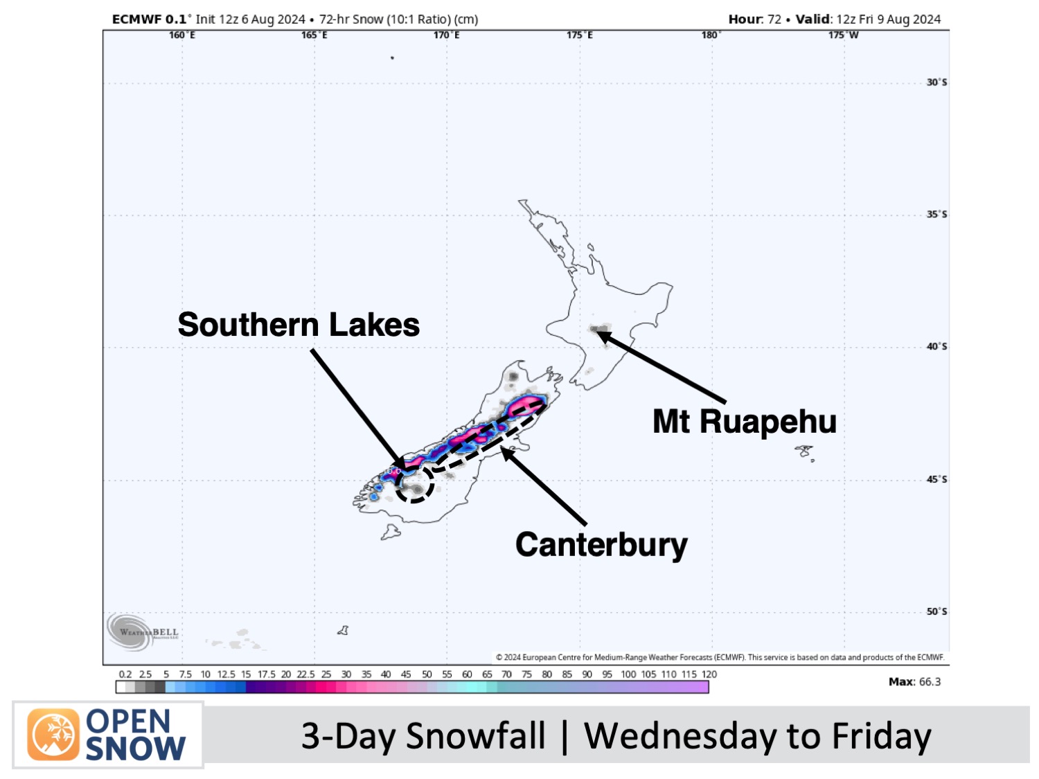
A low-pressure system will bring snow to New Zealand's South Island from late Wednesday through early Friday. Treble Cone may receive up to 10cm, while other Southern Lakes resorts might get just a few centimeters. Canterbury will see more substantial snowfall, accumulating around 20-40cm. Following this period, the weather is expected to improve, resulting in a mostly clear weekend.
Short Term Forecast
Wednesday to Friday (7th to 9th August)
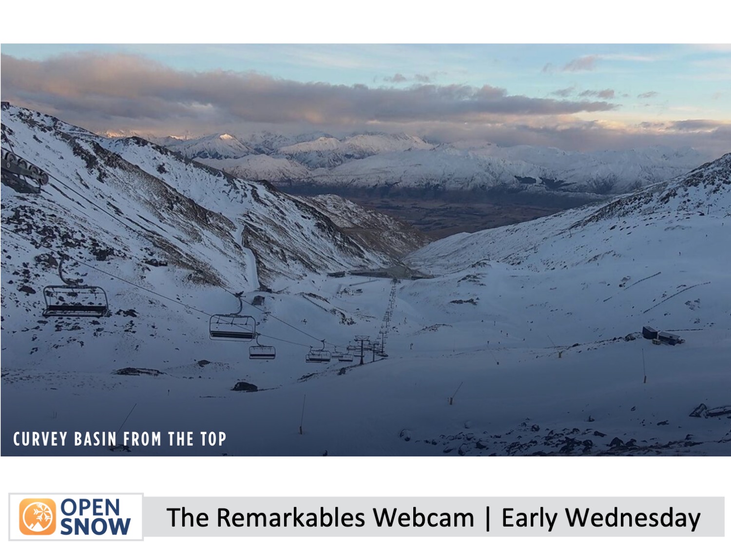
Wednesday will be a mostly overcast day for the Southern Lakes with strong NW winds. Light snow will begin falling on Treble Cone in the afternoon, and a few snow showers may appear at other Southern Lakes resorts by evening. High clouds will build over Canterbury as NW winds strengthen.
For Thursday, the Southern Lakes will stay cloudy, with occasional light snow showers clearing by the afternoon. Southerly winds will develop in the morning. In Canterbury, snow will start early before dawn, but lower slopes at Mt Hutt and Porter's Pass will experience wet conditions until midday when a cold southerly change brings heavier snow down to 900-1000m.
Friday will bring a clear day for the Southern Lakes, except for some morning clouds. A NE breeze will weaken in the afternoon. In Canterbury, snow will taper off in the morning, but the area will stay grey and foggy through the afternoon as southerly winds gradually ease and shift to the east.
The Weekend (10th & 11th August)
A clear day is anticipated for all South Island resorts on Saturday, except for some morning low clouds. The Southern Lakes will experience some high clouds. NW winds will strengthen.
On Sunday, a swift-moving front will bring light snow showers to the South Island resorts.
Extended Forecast
Thanks for reading. I'll continue to provide these forecasts every Monday, Wednesday, and Friday throughout the southern hemisphere season.
Mike O'Connor
About Our Forecaster


