New Zealand Daily Snow

By Mike O'Connor, Meteorologist Posted 1 year ago July 11, 2024
Fine, Dry Pattern Starts to Change from Monday
Summary
The recent run of fine weather will continue this weekend and into Monday as the strong high over Aotearoa, New Zealand, slowly drifts into the Pacific. A weak front crosses the South Island Monday night into Tuesday, likely bringing a dusting of snow up high in Canterbury and just a skiff to the Southern Lakes.
Short Term Forecast
Forecast for Friday and this Weekend (12th to 14th July)
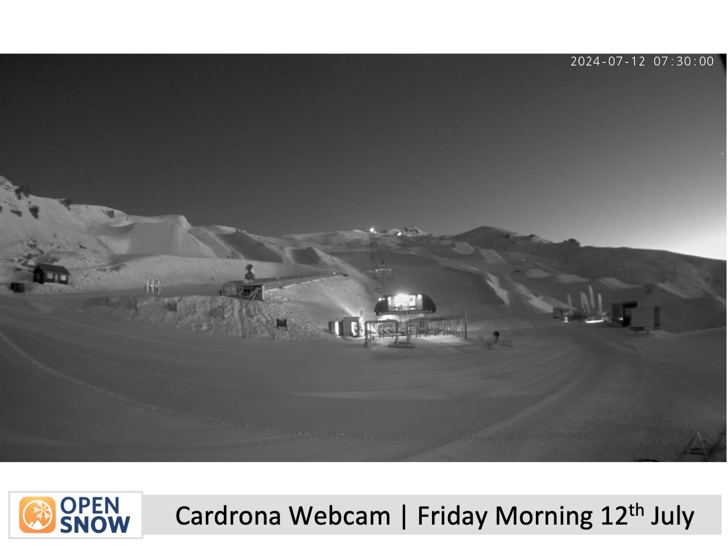
This week, a strong, slow-moving high has seen New Zealand ski fields bask under pristine, clear blue skies. The high's central pressure has been up around 1042hPa, which is pretty darn strong and has blocked any other weather systems from approaching the country.
The weather will remain mostly fine and settled over the South Island on Friday and this weekend as the high slowly drifts into the Pacific Ocean. The main thing to note is that chilly northeast winds, which will have taken the scenic route over the top of the high, will reach the South Island this weekend.
These winds will remain light over the Southern Lakes but will become quite brisk in Canterbury, especially about the frontal ranges where Mt Hutt and Porters Pass are situated. This will also push in low-level clouds, which may reach some ski slopes in Canterbury on Sunday, but the chilly temps should allow some snow to be made.
Forecast for Monday & Tuesday (15th & 16th July)
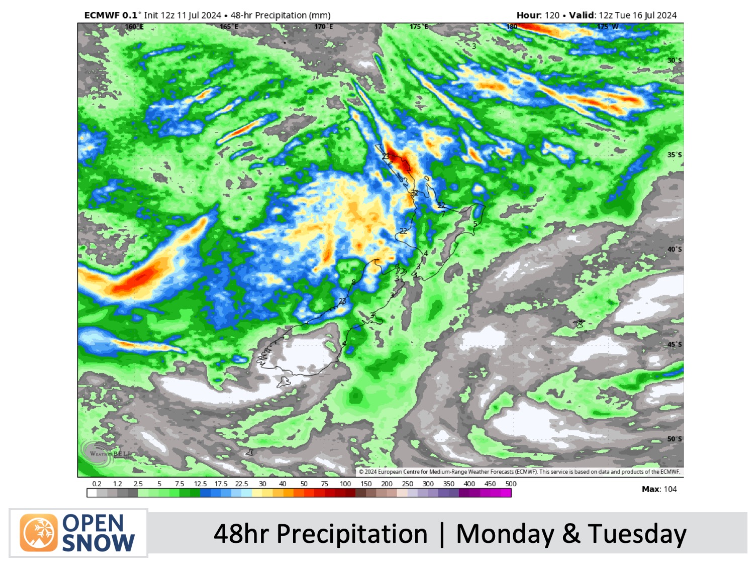
Monday will also be a pretty nice day for the South Island, although clouds will gradually increase throughout the day. However, up on the North Island, strong winds, rain and high-level snow will develop on Mt Ruapehu as a front crosses the area.
Model forecasts are still unsure of the situation, but this front is likely to be quite weak by the time it crosses the South Island from Monday night into Tuesday. At this stage, we can expect a fairly brief period of rain and high-level snow in Canterbury before an even lighter, briefer period of the same in the Southern Lakes. This precipitation is shown in the image below.
This front is part of a larger storm system developing in the western Tasman Sea, which will be yet another slow-moving feature—one of many that have been the hallmark of the season so far where the usual easterly procession of weather systems in the Roaring Forties has been largely absent.
Extended Forecast
Thanks for reading. I'll keep these forecasts coming every Monday, Wednesday and Friday throughout the southern hemisphere season.
Mike O'Connor
About Our Forecaster


