Australia Daily Snow

By Mike O'Connor, Meteorologist Posted 22 hours ago July 20, 2025
Heavy Rain then Snow Tuesday, More Snow Weekend Onwards
Summary
After a wild Saturday and a sunny Sunday, northerly winds return Monday and strengthen into Tuesday as a front brings 5–20 cm of snow to mid and upper slopes. A few flurries linger into Wednesday before a cold, clear Thursday. Winds ramp up again Friday ahead of an approaching storm.
Short Term Forecast
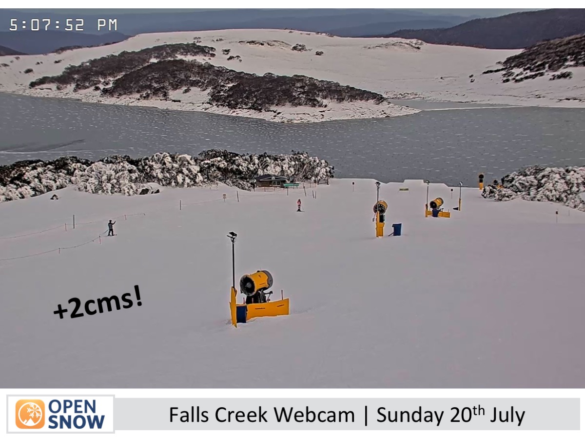
Forecast for Monday 21st July
Clear skies with patches of high cloud, while northerly winds grow stronger through the day.
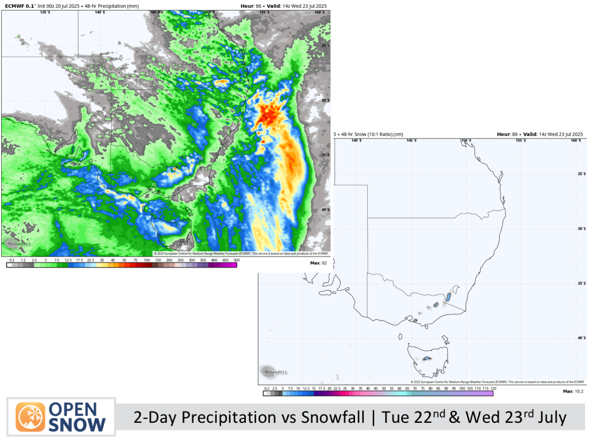
Forecast for Tuesday 22nd & Wednesday 23rd July
Tuesday will be wet and windy, with strong northerlies and a front bringing heavy rain and high-level snow, easing later as snow levels drop to 1400–1500 m. Wednesday brings cold westerlies, partial cloud, and light snow flurries.
Forecast for Thursday 24th & Friday 25th July
Thursday will be sunny with easing southwesterlies, while Friday sees increasing high cloud and strengthening northerly winds.
Extended Forecast
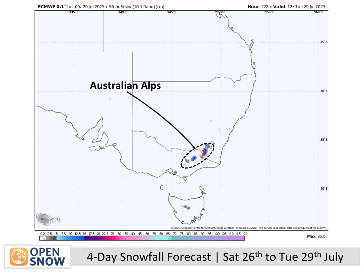
A strong weather system is forecast to impact the Australian Alps Friday night, with heavy rain, snow at higher elevations, and gusty northerly winds. Colder temperatures and steady snow are expected Sunday into Monday, while a few more storms later next week might bring further snowfall, though these predictions remain uncertain.
Thanks for reading. The next forecast will be out on Wednesday.
Mike
About Our Forecaster


