Australia Daily Snow

By Mike O'Connor, Meteorologist Posted 10 months ago September 4, 2024
Strong, Warm Winds to Cause Major Meltdown, Snow up High Sunday
Summary
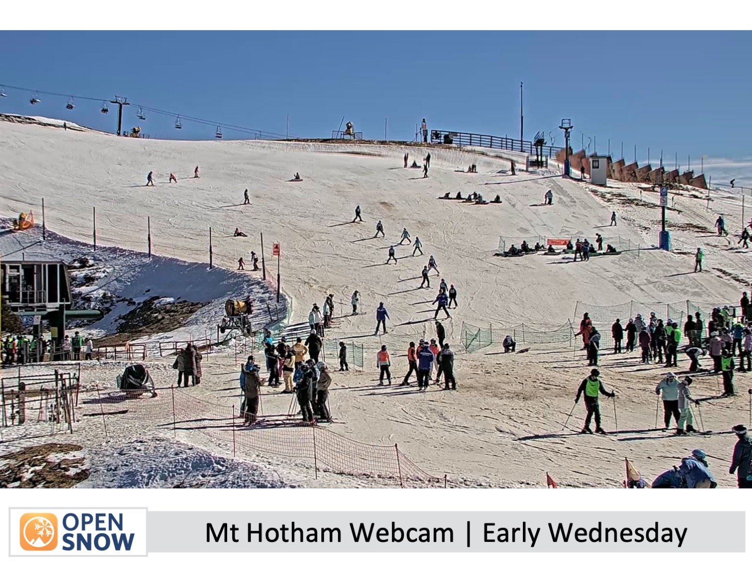
August has been tough, with wet and windy weather wiping out much of the snowpack that was expected to peak. Selwyn, Mt Baw Baw, Buller, and now Mt Hotham have closed for the season. Resorts received 5-10cm of snow from Monday's cold front, making yesterday a great day, but warm northwesterlies and rain on Friday night into Saturday will soon melt the fresh snow.
Short Term Forecast
Wednesday to Friday (4th to 6th September)
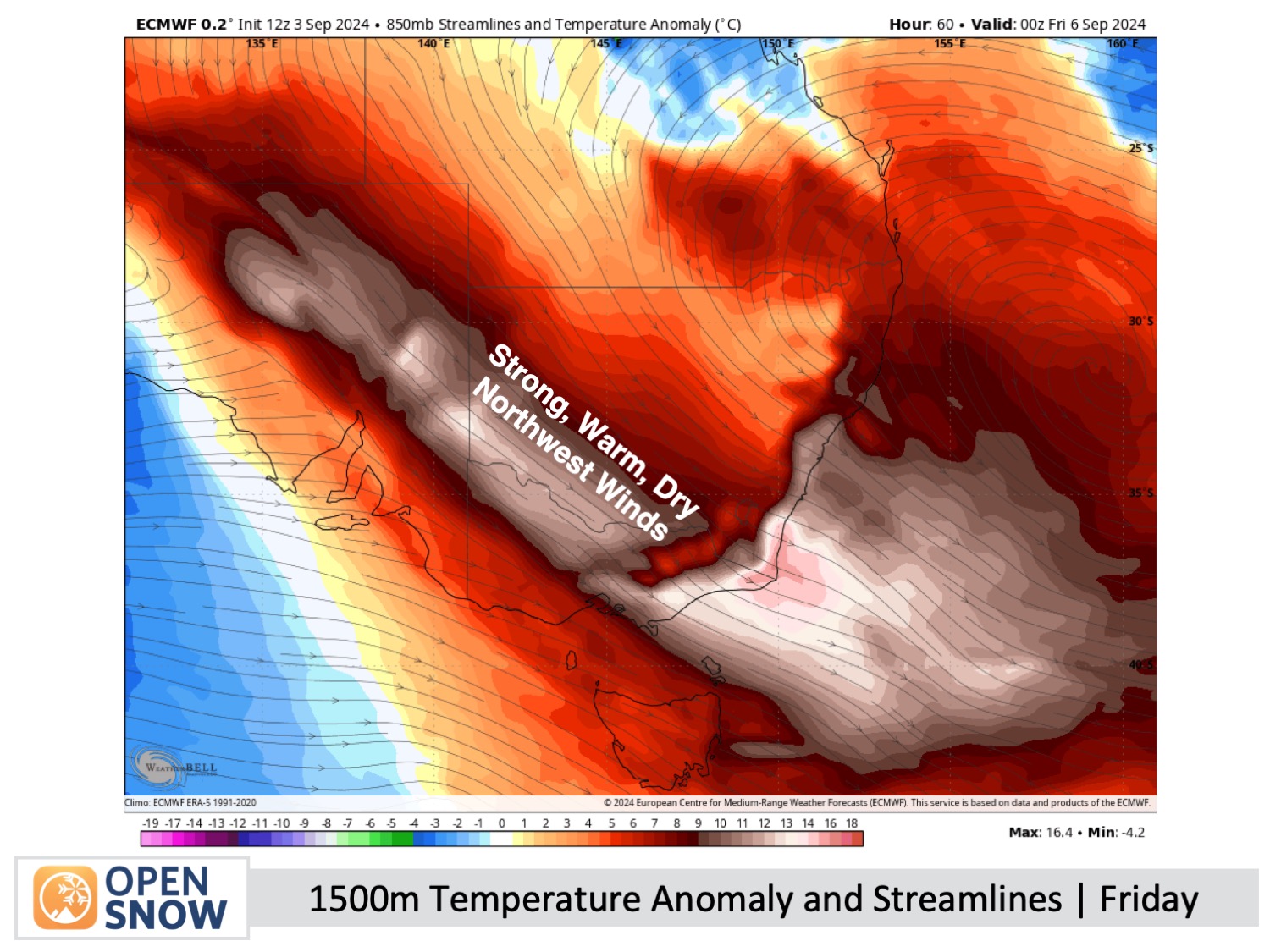
Sunny Wednesday, with a few showers predicted over Victoria for Thursday. Warm northwesterly winds will strengthen to gale force in exposed areas on Wednesday and persist through Friday.
The Weekend (7th & 8th September)
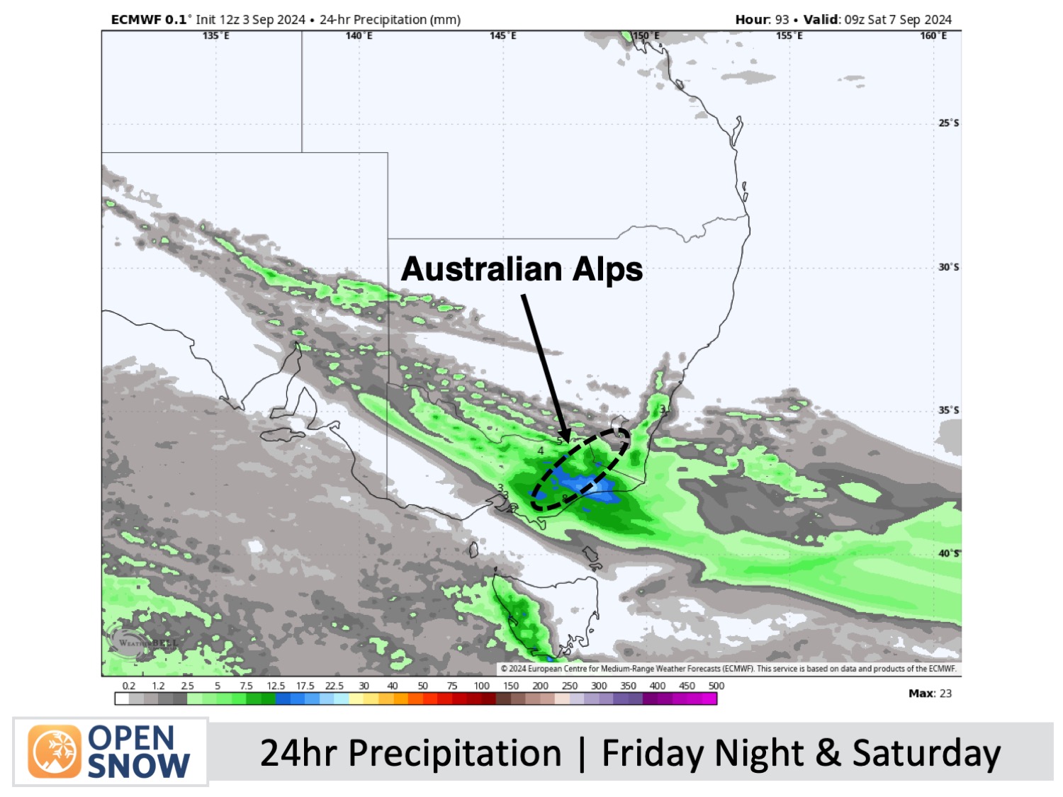
Rain will clear from the west in the morning Saturday, and winds will ease, leading to a fine afternoon with light winds.
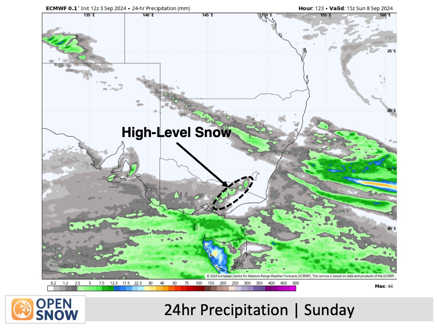
Light showers and strong, cool westerly winds on Sunday will bring a dusting of snow to the upper slopes.
Extended Forecast
The next few days are expected to be warm, calm, and sunny as high pressure moves in.
Thanks for reading. I'll continue to provide these forecasts every Monday, Wednesday, and Friday throughout the southern hemisphere season.
Mike O'Connor
About Our Forecaster


