Winter Park Daily Snow

By Joel Gratz, Founding Meteorologist Posted 3 years ago April 21, 2022
Storm on the way
Summary
Thursday and most of Friday will be dry, then we'll see snow from Friday evening through Saturday night and there should be soft turns on both weekend days.
Update
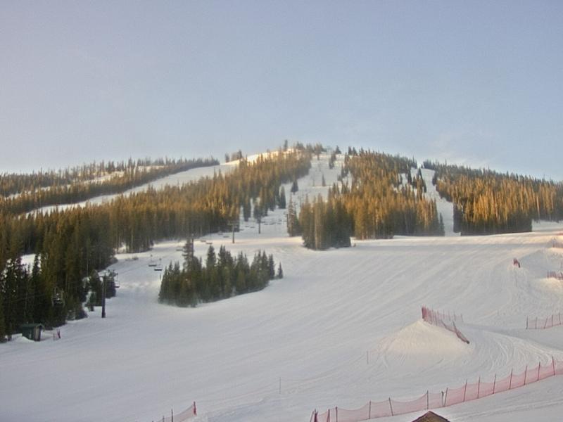
Wednesday was dry and warm-ish with on-mountain temperatures in the upper 30s to mid-40s.
Now on Thursday morning, it's another gorgeous start to the day and we'll see sunny skies and a high temperature in the 40s to low 50s.
Friday will be a mixed day with dry, warm, and breezy weather all day, then snow showers will begin on Friday early evening and will continue on Friday night and into Saturday morning.
By Saturday morning, we should have 1-4 inches of new snow on the ground which should ride nicely on the groomed runs. During the day on Saturday, more snow showers will occur, with the most intense showers likely during the afternoon and on Saturday evening with another 3-6 inches of accumulation. This means that the last run on Saturday afternoon and more likely the first run on Sunday morning should be when we'll enjoy the softest snow from this storm.
Sunday and Sunday night will be mixed with likely dry weather on Sunday morning followed by perhaps some snow showers later on Sunday afternoon and Sunday night, though I have lower confidence about what will happen with these snow showers as they might stay just south and east of the mountain. It'll be something to watch to see if we can eke out additional soft turns on Monday morning, when only the Mary Jane side will be open.
Looking ahead to Monday, April 25 to Saturday, April 30, it'll be dry and very warm with high temperatures in the 40s and 50s. With spring coming in full force, I will wind down my daily writing after this storm and will publish my final post of the season next week.
JOEL GRATZ
Meteorologist at OpenSnow.com
Snow conditions as of Thursday morning
New snow mid-mountain:
* 0” (24 hours Wednesday 500am to Thursday 500am)
* 0” (Overnight Wednesday 400pm to Thursday 500am)
Last snowfall:
* 7” Saturday Night to Sunday Night (Apr 16-17)
Terrain
* 14 of 23 lifts
* 128 of 166 trails
* Latest update
Snowpack compared to the 30-year average:
* 82%
About Our Forecaster


