Winter Park Daily Snow

By Joel Gratz, Founding Meteorologist Posted 3 years ago April 18, 2022
Mostly dry this week, then powder next weekend
Summary
We'll see mostly dry and warm weather through early Friday, then a storm could bring significant snow heading into next weekend.
Update
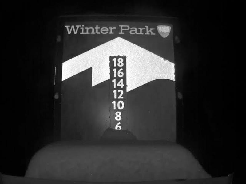
Sunday was a mixed day with breaks of sunshine and also a few snow showers with minimal accumulation. Then the atmosphere opened up just after lifts closed on Sunday and a few intense snow showers dropped about 5 inches on the mid-mountain snow stake. What a gift!

Get after this snow early on Monday as the warm spring sun will turn this new powder into goop pretty fast.
Now as we look ahead to this week, we'll leave the feeling of winter behind with a bunch of warm and dry days coming up. This week will feel like spring with high temperatures in the 40s from Monday through Friday, and we'll see mostly sunny skies as well. The only wrinkle in the forecast will be on Tuesday night into Wednesday morning when a fast-moving storm could drop anything from a dusting to an inch or two of snow, so there might be just a bit of powder to enjoy on top of the groomers on Wednesday morning.
At the end of the week, a strong storm will arrive sometime on Friday, with potentially intense rounds of snow from later Friday through Sunday. My early estimate is that we'll see 5-10 inches of accumulation during this time, with powder (or at least softer turns) on Saturday and Sunday.
My next post will be on Wednesday, April 20, and then I'll update daily through the weekend storm. I will likely conclude my writing the following week as the weather turns more springlike.
JOEL GRATZ
Meteorologist at OpenSnow.com
Snow conditions as of Monday morning
New snow mid-mountain:
* 5” (24 hours Sunday 500am to Monday 500am)
* 5” (Overnight Sunday 400pm to Monday 500am)
Last snowfall:
* 7” Saturday Night to Sunday Night (Apr 16-17)
Terrain
* 14 of 23 lifts
* 128 of 166 trails
* Latest update
Snowpack compared to the 30-year average:
* 86%
About Our Forecaster


