I-80 California Daily Snow

By Bryan Allegretto, Forecaster Posted 1 year ago December 6, 2022
Roads Clearing Tuesday, More Snow Thu Night - Sunday...
Summary
Dry Tuesday - Thursday. Thursday night through the weekend a series of storms will likely bring more snow, with the active pattern possibly continuing into the week of the 12th.
Update
Chain controls are in place Tuesday morning from Cisco Grove (exit 164) to Truckee (exit 184).
Tuesday - Thursday:
The snow-covered roads Tuesday morning should melt off through the day. We will see a drier pattern with no weather-related travel issues from Tuesday afternoon through Thursday.
Thursday Night - Sunday Storms:
The next storm is forecast to move into the northern Sierra Thursday evening into Friday. This first system looks weaker Friday but with several inches of snow possible for the mountains. Expect chain controls to set back up again by early Friday morning with snow levels down between 3000-4000 ft. to start.
A wetter storm is right on the heels of the first storm for Friday night into Sunday. This storm is expected to bring heavy snow and travel headaches. Snow levels may rise up to 5000-6000 ft. by Saturday before falling again by Saturday night into Sunday back below 4000 ft. Strong winds and blowing snow are expected fro Saturday and then winding down some for Sunday.
The snow showers are expected to taper off Sunday night with improving travel conditions into Monday.
Expect slow travel and chain controls through the Sierra through Sunday. Expect low visibility at times and also possible road closures at times during the peak of the storm Friday night into Saturday night. Travel is not advised during this period.
Long-Range:
Additional storms are possible Sunday into the week of the 12th. We'll have more details as we get closer. Be prepared for winter travel through the Sierra through mid-December during this active weather pattern.
BA
P.S. NWS Graphs and Caltrans live cams are below (we don't control them)...
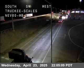
I-80 Road Cams:

Blue Canyon, Exit 154 - 5,022'

Cisco Grove, Exit 165 - 5,814'

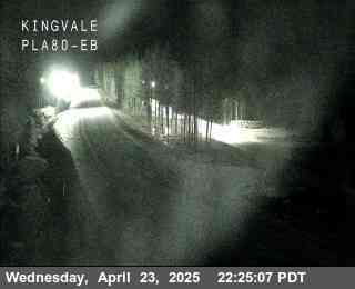
Castle Peak, Exit 176 - 7,165'

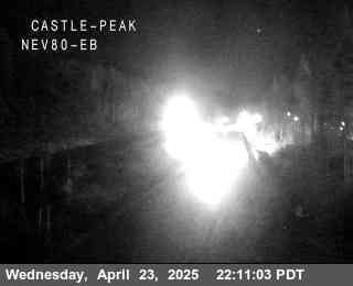
Donner Lake, Exit 180 - 6,394'
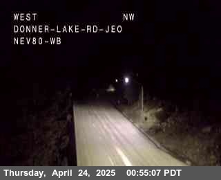


Truckee Scales, Exit 191 - 5,826'
If you are traveling through the Sierra please use the links below for travel advisories as we do not give our opinions on the "safest" or "best" travel times for liability reasons. The storm timing, road conditions, & chain control areas are not guaranteed and are subject to change.
NWS Reno: https://www.weather.gov/rev/
NWS Sacramento: https://www.weather.gov/sto/
CA road conditions: http://www.dot.ca.gov/cgi-b... (and 1-800-427-7623)
NV road conditions: https://nvroads.com/
OSS weather share: http://oss.weathershare.org/#
About Our Forecaster
Bryan Allegretto
Forecaster
Bryan Allegretto has been writing insightful posts about snow storms for over the last 15 years and is known as Tahoe's go-to snow forecaster. BA grew up in south Jersey, surfing, snowboarding, and chasing down the storms creating the epic conditions for both.
Free OpenSnow App


